Latitude: 46° 10' N |
Longitude: 9° 22' E |
Altitude: 201 m s.l.m. |
Inhabitants: 1.230 |
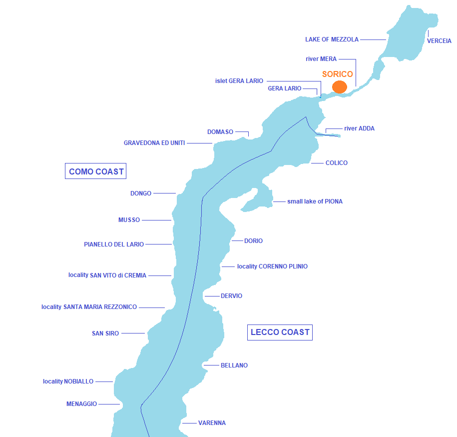
Sorico is situated between Gera Lario and Colico in the northern most part of lake Como, at the mouth and on the Mera river, and is made up of six other hamlets: Albonico, Bugiallo, Dascio, locality Poncetta, locality La Punta and locality Nigolo. Its vast territory includes the fluvial part of Mera river, the western coast of lake Mezzola, a large part of Pian di Spagna and the southern most part of Mount Berlinghera (whose peak reaches 1.930 meters above sea level). Historically it constituted, together with Gravedona ed Uniti and Dongo, the Republic of the Tre Pievi del Lario. From 1512 to 1797 it was a border area between Milan and the Grisons and was affected by significant land and lake exchanges to and from northern Europe, as well as being a strategic military outpost. It's currently to be considered as a small tourist center particularly active in the water sports sector. Interesting the Pian di Spagna Nature Reserve - lake Mezzola, part of the "Ramsar list", the Castle of San Giorgio, the Forte d'Adda, Torre Nuova, the church of San Miro, the bell tower of the church of S. Stefano and Palazzo Giulini.